☰ home.allCategories
 EU | EN |
 home.welcomehome.signIn / home.register
0 home.cart
EU | EN | home.welcomehome.signIn / home.register
0 home.cart
EU | EN | 0 home.cart
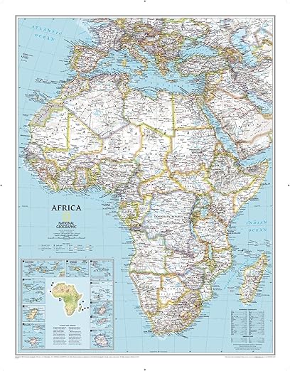
Africa Classic, Tubed: Wall Maps Continents
Stationery-product.aboutProduct
product.sku
PLam-AFRIC
product.category
Charts & Visual Aids
product.brand
Classic Maps
product.supplier
Beyston
product.weight
0.6kg
home.listPrice: €43.83
Andorra - €14
Quantity - 1
20 product.inStock
discountCoupon.discountCoupons
product.checkingViewers
product.otherOffersFromSellersOnBeyston
product.description
Africa Classic Tubed Wall Map – Continent Map
Africa Classic Wall Map is a detailed continent map of Africa, delivered in a protective tube for easy storage and display. Perfect for classrooms, offices, or home learning, this map highlights countries, capitals, major cities, rivers, and geographical features, making it an essential tool for geography education.
Key Features:
- High-quality printed wall map of Africa, rolled and delivered in a protective tube
- Shows countries, capitals, major cities, rivers, and mountain ranges
- Durable material suitable for classroom, office, or home display
- Easy to mount or pin on walls
- Supports geography learning, teaching, and reference
Perfect For:
- Teachers and students studying African geography
- Classroom, homeschooling, or office displays
- Reference tool for travel, research, or general knowledge
- Anyone seeking a visually clear and detailed map of Africa
The Africa Classic Tubed Wall Map is a durable, visually engaging educational tool that helps learners explore the continent and understand its geographical features in detail.